ENGINEERING
GrandTour’s Field Robot Shows Why Better Legs Need Better Measurements
The 2026 GrandTour release turns a quadruped into a field measurement platform, exposing the timing, payload and reference problems behind useful robot autonomy.
Research checked
Newest cited publication
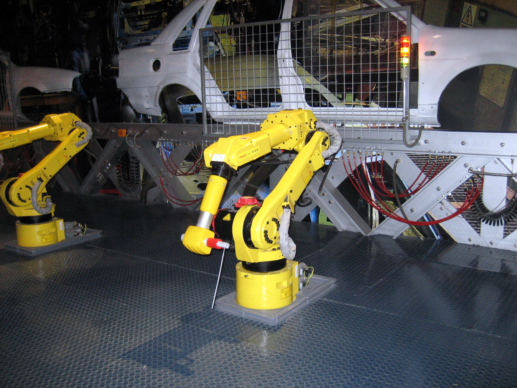
An archive industrial robot supplies robotics context; the field robots in GrandTour face the outdoor sensing and measurement conditions discussed in the article.
Mountain / Wikimedia Commons · Image source · CC BY-SA 3.0

A robot that walks across rubble has demonstrated mobility. A robot that can explain where it walked, how uncertain that estimate was and which sensor failed has demonstrated something more useful to an engineer. GrandTour, a field robotics dataset first posted as a preprint on February 20, 2026 and revised on July 8, makes that distinction concrete. The researchers used an ANYmal-D quadruped carrying the Boxi sensing payload. They report 49 recorded missions, more than ten kilometres of accumulated travel and more than five hours of recorded operation. Those are dataset totals, not a claim that the robot walked ten kilometres on one battery. The engineering interest is how the measurements were assembled into evidence that other teams can inspect. A field robot is simultaneously a moving machine, a measurement instrument and a carrier of equipment whose mass and electrical demand change the mission.
What the 2026 release actually demonstrates
The latest GrandTour manuscript remains a preprint in the record checked for this article; the earlier Boxi systems paper appeared in the 2025 Robotics: Science and Systems proceedings. This is real hardware data collection, rather than a simulation campaign or evidence of an unattended commercial inspection service. The distinction matters because recording a difficult route with a research team present establishes a different result from completing it repeatedly without assistance.
Consider a hypothetical maintenance route with twenty inspection stops. Successful walking between stops proves only one part of the job. The robot must also identify the correct asset, place its sensor consistently, reserve enough energy to return and produce a traceable record. If it reaches nineteen stops but mislabels the final measurement, its physical completion rate and its useful inspection completion rate disagree. GrandTour is valuable as a measurement resource because it lets developers examine parts of that chain; it should not be read as a blanket certification of the entire operational workflow.
A payload is part of the robot’s energy budget
The GrandTour manuscript gives the sensing suite a mass of about 7.1 kilograms and an electrical draw of roughly 120 watts. These figures make the platform more informative than a camera strapped to a robot for a promotional clip. They also make the payload a significant engineering commitment. Its electrical consumption continues while the robot pauses, and its mass must be carried every time the body moves uphill or recovers from a disturbance.
For an independent calculation, suppose that a hypothetical mission reserves 180 watt-hours solely for this payload. Dividing that energy by 120 watts gives 1.5 hours. That is a payload-only allocation, not a prediction of ANYmal battery life: motors, base computers, conversion losses and reserve policy would need separate accounting. Even this simple calculation explains why mission planners should distinguish walking time from powered time. A ten-minute stationary inspection can consume sensing energy while adding no distance to the travel log. A meaningful endurance report therefore needs a duty cycle, payload configuration and termination rule alongside its headline duration.
Timing errors become geometry errors
Boxi’s published design work treats synchronization and calibration as hardware decisions that influence the quality of downstream estimation. This is an especially useful perspective for a legged machine because its body rotates and accelerates with every gait cycle. Two sensors can each be accurate individually while disagreeing because their measurements describe different moments.
Take an illustrative robot moving at one metre per second. A timestamp offset of twenty milliseconds makes two observations correspond to body positions two centimetres apart. Now suppose it is also turning at ninety degrees per second. The same offset represents 1.8 degrees of orientation change. At a five-metre observation distance, the lateral difference from that angular offset is approximately sixteen centimetres. These are deliberately chosen example conditions, not GrandTour error measurements. They show why simply buying a more precise range sensor may fail to improve a map: motion multiplied by timing error can dominate the measurement. Timestamping when data reaches an application is also different from timestamping when a sensor actually exposed an image.
Rigidity, visibility and serviceability compete
The Boxi paper places sensor selection alongside mounting, thermal management, power, computing and networking. That framing deserves attention even from teams building much smaller robots. A sensing package is an interdependent assembly. A bracket can be mechanically strong but block a camera. An enclosure can keep contaminants away while trapping heat. An easily removable connector can simplify repairs while adding a location where vibration or moisture creates intermittent faults.
Imagine replacing a damaged camera during a field campaign. If the replacement shifts its viewing axis by one degree, a point ten metres away moves by roughly seventeen centimetres relative to the old geometric relationship. The camera can still produce a sharp image, making the problem easy to miss during a quick visual check. A sensible service procedure would therefore record the replacement, check mechanical seating and verify calibration before treating subsequent measurements as directly comparable. This is an engineering recommendation, not a claim that GrandTour experienced that fault. Maintainability becomes part of measurement quality whenever service work can change the geometry connecting the sensors.
The reference measurement also needs an error model
GrandTour combines satellite-based positioning with survey-instrument references rather than assuming that the robot’s own estimate is the answer. Its public project page also reports varied environments and explicitly documents a January 2026 issue concerning different camera intrinsics for depth and colour images. That kind of disclosure is useful: a dataset needs maintenance just as a physical instrument does.
A reference trajectory is still a measurement, not mathematical truth. For example, a survey instrument tracking a prism measures the prism’s location. Comparing that with a robot body estimate requires the offset between prism and body, together with the robot’s orientation. A position error can therefore arise from an incorrect offset even when the external instrument is behaving correctly. Similarly, a tree canopy can degrade satellite observations while leaving a camera image apparently excellent. The appropriate evaluation asks where the reference is valid, which coordinate system it uses and how uncertainty changes across the route. Averaging all samples into one score can conceal a short but operationally serious period of lost localization.
An endurance specification is a different contract
A published endurance specification is a contract about a configuration and a test, not a permanent property of a chassis. A research machine carrying Boxi should therefore be evaluated with its own equipment installed rather than borrowing a headline figure from a different commercial setup. Payload mass, electrical consumption, terrain, pauses and battery reserve all affect the outcome. Reporting distance without these conditions makes comparisons difficult.
For a hypothetical return-to-base mission, a prudent acceptance test would state both a minimum remaining energy reserve and a required completion rate. It would repeat the same route with the actual installed sensors, including time spent waiting at inspection points. Separate trials should record hot conditions, cold starts, obstructed paths and communication loss. The point is not to demand every possible disturbance in one heroic demonstration. It is to establish a bounded operating envelope. A machine that returns reliably from a modest route can be more useful than one that sometimes completes a much longer route with no predictable margin.
What the next field result should publish
The project publishes software tools alongside its data, with the repository identifying drivers, real-time components and post-processing utilities. That makes an important boundary visible: a sensor log is only one part of a reproducible engineering result. Configuration, conversions and processing steps determine what another team can reconstruct from it.
My proposed next step for this line of work is a mission ledger linking each recording to payload state, battery measurements, interventions and maintenance events. That would let a reader distinguish an autonomy failure from a depleted battery, an unavailable reference or a repaired sensor mount. GrandTour already provides a concrete 2026 resource for studying the measurement problem. The broader lesson is that useful field robotics advances when claims become inspectable: distance needs context, endurance needs a duty cycle, accuracy needs a reference and a successful demonstration needs a clear statement of what the humans still did.
Sources & further reading
Primary papers, project documentation, and research releases used in this article. Publication dates below refer to the sources themselves.
- GrandTour: A Legged Robotics Dataset in the Wild for Multi-Modal Perception and State EstimationarXiv / ETH Zürich and University of Oxford researchersPublished Checked
- Boxi: Design Decisions in the Context of Algorithmic Performance for RoboticsRobotics: Science and Systems XXIChecked
- Boxi: Design Decisions in the Context of Algorithmic Performance for RoboticsarXivPublished Checked
- ANYmal Grand TourRobotic Systems Lab, ETH ZürichChecked
- GrandTour - Boxi SoftwareRobotic Systems Lab, ETH Zürich / GitHubChecked
FOLLOW THE QUESTION
Explore engineering